Karst and
Hydrologic Phenomena
IDRIJA UNESCO GLOBAL GEOPARK


The karst world of chasms, depressions, sinkholes, swallow holes, karst fields, and caves was formed through water washing over the rocks for long periods of time. Limestone and dolomite that are typical for karst also form a large part of the Idrija region. These rocks are soluble in water – a process that helps shape the landscape and its inhabitants.

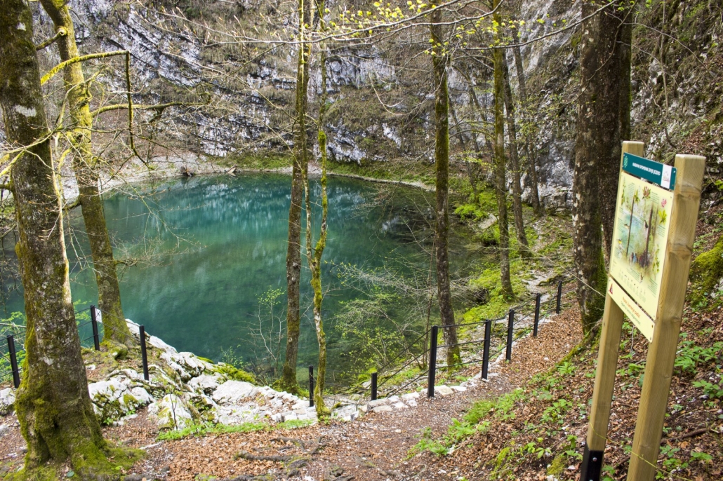
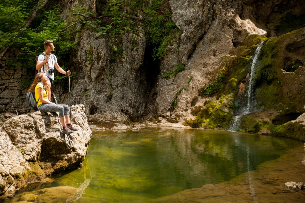
The Wild Lake is one of the most fascinating karst springs in Slovenia as it is both a spring as well as a lake and cave, all in one. It is situated in the beginning of the Strug gorge, under the cliff-like slopes of the Črni Vrh Plateau, which represents the larger part of the spring’s background area. The majestic, almost 100 m high slopes are made of Lower Cretacious limestones (with an age of 145–100 million years) on an impermeable basis of Paleocene-Eocene flysch rocks (66–34 million years), the youngest rocks in the Idrija region.
The water flows into the lake from a steeply descending underwater cave tunnel. So far, divers have explored it to the depth of 164 m, which is the edge of human capability. In dry periods, the water forms a small lake at the base of the imposing cliffside. During heaving rainfall, however, the lake spews forth an enormous amount of water, forming a mushroom-like shape up to several tens of centimeters in height.
The steep cliffsides are home to alpine flora such as the Carniolan primrose (Primula carniolica), a species endemic to Slovenia. In the lake’s syphon, divers have encountered the olm (Proteus anguinus).
The area of the Wild Lake is protected as a nature monument and is therefore subject to a stricter protection regime, which means that swimming and diving, walking off marked paths, picking flowers and polluting the water are forbidden.
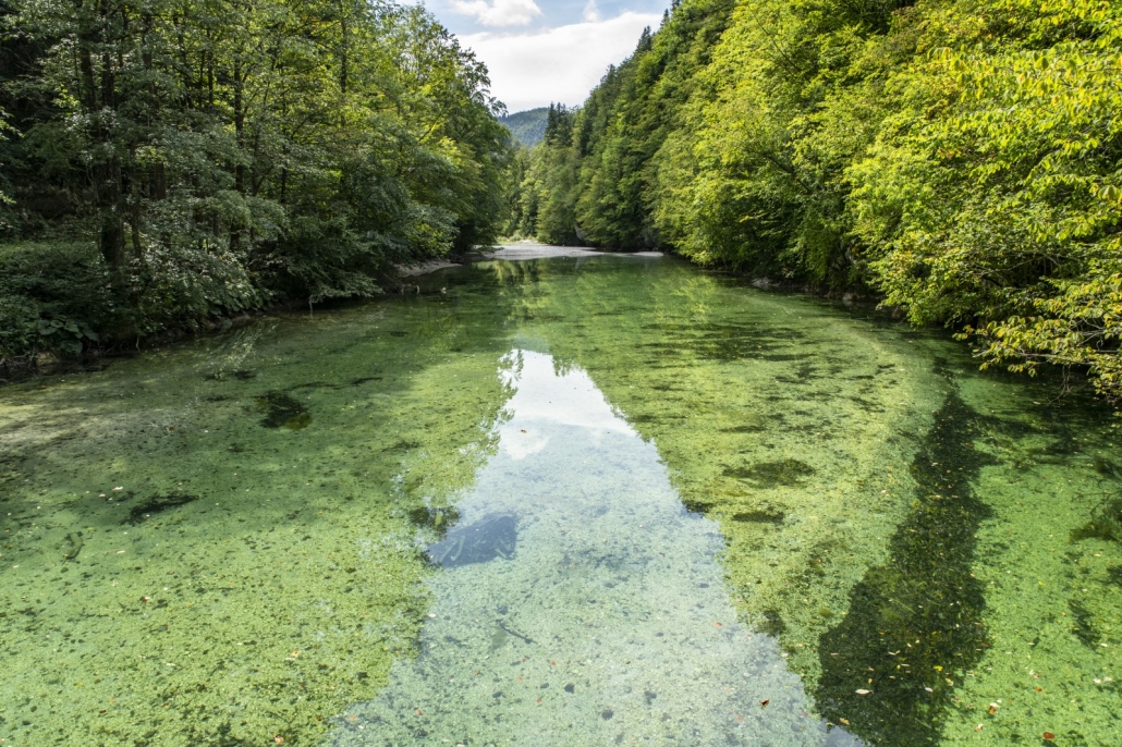
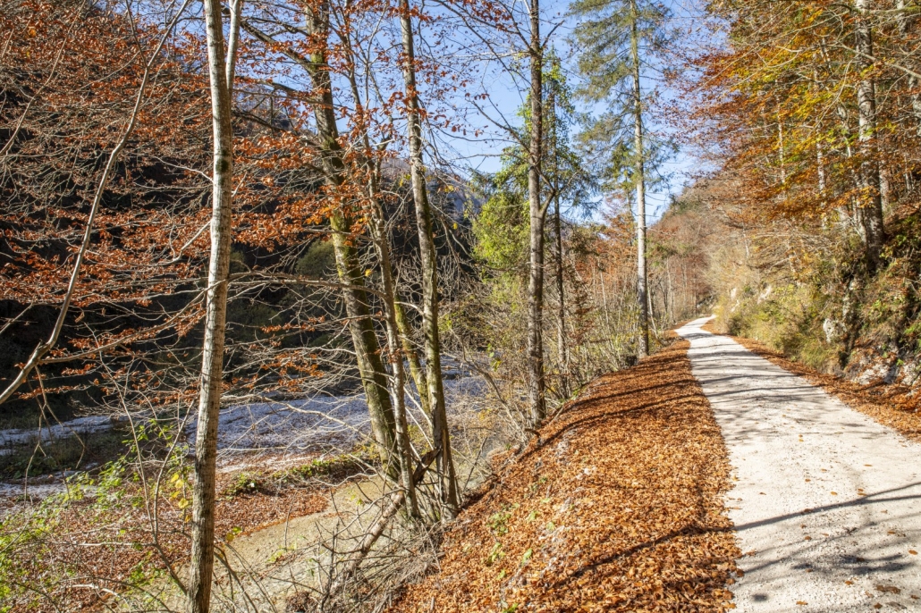
The Idrijca River springs in the Mrzla Rupa area from four small creeks. The entire valley is a very narrow and, in some parts, barely accessible gorge with steep cliffs overgrown with thick beech forests. It only begins to open up at the confluence with the Belca stream where it turns towards Idrijska Bela and continues towards Idrija and down to Most na Soči. Several historical and technical monuments are situated in the valley – klavže, lauf, various markings, etc.
The area of the Idrijca River Valley down to Podroteja is protected as the Upper Idrijca Landscape Park.

The valley of the Belca stream is a narrow water gap that joint the Idrijca River at the Lajšt natural pool. Belca cut its valley into Upper Triassic dolomite (Norian and Rhaetian, 216–203 mil years), also called main dolomite. Very steep cliffs rise from the bottom of the valley, in many places on the right-hand side, these are vertical, overhanging walls. Steep slopes are covered with beech forests. In the Belca Valley, you can find the Brus (Belca) klavže and the Putrih klavže.
The area of the Idrijca River Valley down to Podroteja is protected as the Upper Idrijca Landscape Park.

The Kanomljica River Valley is shaped along the famous Idrija Fault. As rocks along the faults are cracked and crushed, enabling an easier surface erosion, the Kanomljica River was able to carve this magnificent valley in millions of years. It is a valley of lone farms that used to live on mountain agriculture, livestock breeding, forestry, small crafts, and seasonal work. In the past, the valley was alive with mills, saws, and threshers. It remains know for the rich oral folklore, numerous village characters, and an abundant social life.

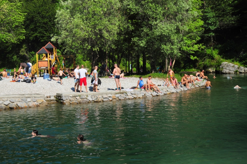
In the Upper Idrijca Landscape Park, you will find a beautifully maintained natural bathing area Lajšt on the confluence of Idrijca and Belca rivers. This calming environment is perfect for relaxing and enjoying in the rich pristine nature of the landscape park and its unique natural characteristics.
There, you can also find the Idrija Geopark fun educational site “Explore the Riverbank”. It is equipped with traditional games such as Man, Don’t Get Angry, volkalca, hopscotch, etc. All the figurines or pebbles that you need to play these games can be picked from the riverbank.

In the riverbed above Lajšt there are natural water pools called bučke. They were formed in the Upper Triassic dolomite (216–203 mil years) and are of different depth, the largest even up to 2 or 3 m.
In creeks or at the edges of river basins, such pools are formed in rocks with inclusions of softer materials that are easily carried away by water. The water in the pool swirls fast, polishing the walls with the gravel stones caught in the stream. The initial hole begins to broaden and deepen until several-meter-deep hollows are formed.
Upper Triassic dolomite (216–203 mil years), also called main dolomite, covers the majority of the Upper Idrijca Landscape park, the Zadlog Field, the Črni Vrh Field, slopes above the Črni Vrh and the Zadlog fields, as well as the Godovič area and further on towards the Notranjska Lowland.

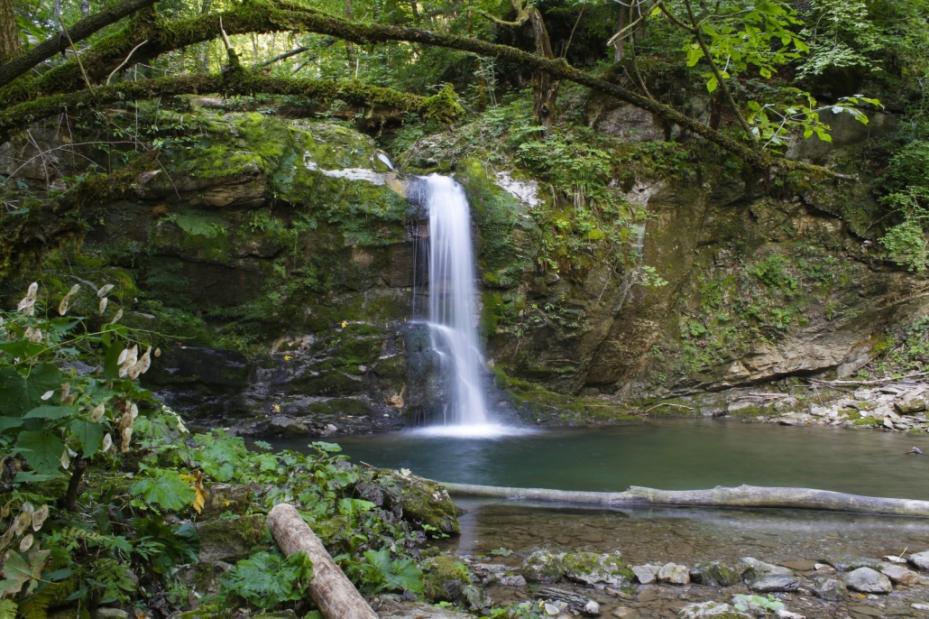
The Gačnik stream springs under the village of Vojsko, runs across the Vojsko Plateau, past wonderful marsh meadows, and then cuts deep into the slope towards Dolenja Trebuša. In the upper part of the gorge, under the Brdar Farm, you can see the Brdar Waterfall, dropping 6 m over two levels.

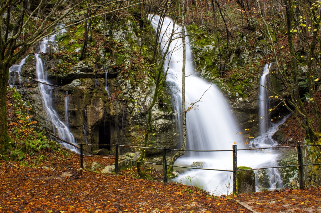
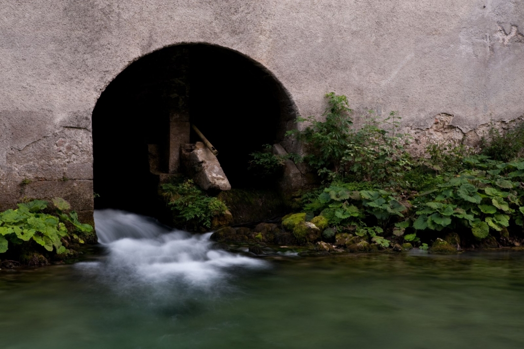
A horizontal cave that is occasionally also a boiling stream. This is a type of karst spring: after heavy rainfall, the inner reservoirs fill and overflow the syphon barrier with water rushing to the surface. The cave then features a might waterfall that roars and flows into the Idrijca River.
The 4 m Bezjak Waterfall in the Črna Valley. Standing net to it are still visible the ruins of a former mill that was first mentioned in the land registry in 1586. It is probably named after Jurij Bezjak, the propriety owner. After WWI, the mill started losing work and has been left to ruins since its last owner in 1933.

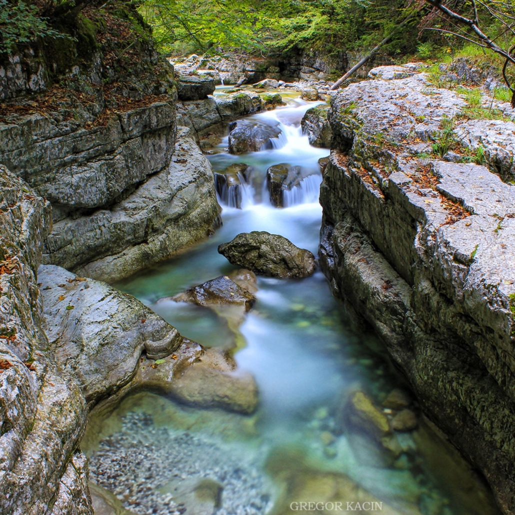
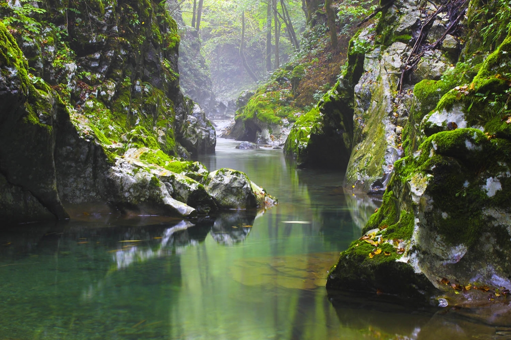
Klame basins are a picturesque, around 300 m long and barely accessible gorge shaped by the Kanomljica River in the karstic limestones 135 to 65 mil years old. As the limestone in the vicinity of the Idrija Fault is crushed and soluble, the area features karst phenomena. At the upper entry to the gorge in the fault zone, there is a swallow hole into which a part of the Kanomljica River waters sinks into – during periods of draught, the entire river can disappear. The data and the river-dying so far conclude that the water runs under the Kanomljica River basin to join the Ovčjakarica (also called Klavžarica) and the Vovšja Grapa waters and resurfaces in the permanent karst spring at Šinkovec Saw. The most beautiful basins can be found in the lower part of the gorge. You can access them if you follow a footpath from the first sharp turn of the road leading from the Fishing Home towards Gorenja Kanomlja.

Along the impermeable flysch layer acting as a hydrological barrier, waters spring from the karst rear of well-permeable limestone at Podroteja. The rear of the springs belongs to the High Karst area (Črni Vrh Plateau, a part of Križna Gora and Javorniki, a part of Hrušica and Hotedršica Lowland.
In the fault zone in the upper part of the Klame gorge, there is a swallow hole into which a part of the Kanomljica River waters sinks into – during periods of draught, the entire river can disappear. Underground, it is joined by the Ovčjakarica (Klavžarica) and the Vovšja Grapa waters. They resurface in the powerful permanent karst spring at Šinkovec Saw.
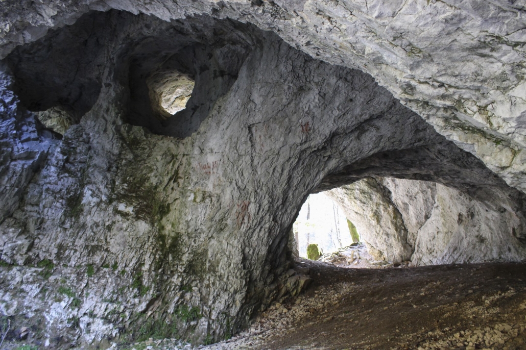
In this labyrinth of caves, archaeologists discovered remnants dating to two periods. In Lower Paleolithic period, the Neanderthals used is as a post; and 10,000 years ago, the ancestors of the human race again used it as a temporary hunting post. Tools and animal bones were found.
WARNING: The Chambers of Matjaž (Matjaževe kamre) are difficult to reach but are visible far across the Sovra River.
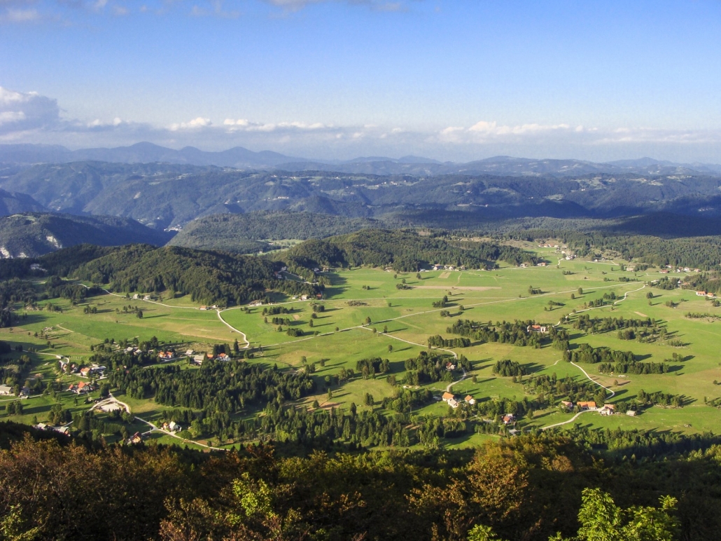
Zadlog is a special karst field formed entirely on dolomite. It has no surface water; the central part of the field is covered in thin alluvium layer with meadows and pastures. The field is rich in sinkholes, we can also see dry basins of several springs. After heavy and long rainfall, especially early in the spring when the ground is frozen, the field is covered with water. From the swallow holes in the middle of the field, karst waters run towards the springs at Podroteja and the Wild Lake. These underground connections were proven with water-dyeing.
Due to its altitude, the climate here is relatively sharp: a mixture of continental and Mediterranean influences. Despite its location in the seeming precipitation shadow of the Trnovo Forest surface that is exposed to winds, the field receives high precipitation. Winters are fairly showy with warmer air regularly flowing in.
Zadlog is a dispersed settlement composed of individual dispersed homesteads that stand at the edges of the field due to floods. The village is formed by numerous small settlements such as Plestenice, Bukovška Rovna, Hudi Kot, Podkrog, Na Sredi, and Podtisov Vrh, which gives Zadlog its typical image.
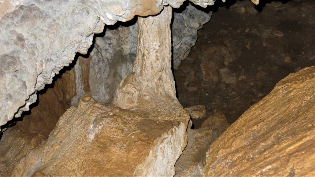
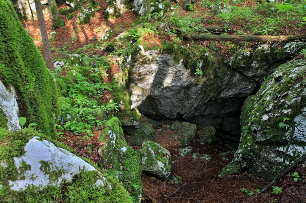
A karst cave in the vicinity of Predgriže, formed in the Lower Cretaceous limestones (100–65 mil years) in a fissure through which water seeped and dissolved the rock. Oral tradition claims that the cave got its name after a man that found refuge and supposedly died) in it – the locals called him Hrvat, The Croat.
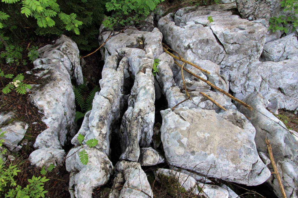
Limestone pavements are landforms also known as karren.They consist of long gutters on barren limestone surface, formed when limestone dissolved (corroded) along the cracks of less resistant rock. They often appear together with runnels of smaller dimensions. You can see them in karst forests at the Črni Vrh Plateau.
With 400 m, Habeček Abyss is the deepest measured abyss in the Idrija region. It was formed at the edge of the thrust of Upper Triassic main dolomite (216–203 mil years) onto the Lower Cretaceous rudist limestone (100–65 mil let) in which the entrance to the abyss has formed. In front of the entrance, a natural bridge has formed.
WARNING! Do not approach the entrance to the abyss – danger of fall! Descending into the abyss is strictly prohibited!