Raufnk
454 m
PANORAMIC SUMMITS


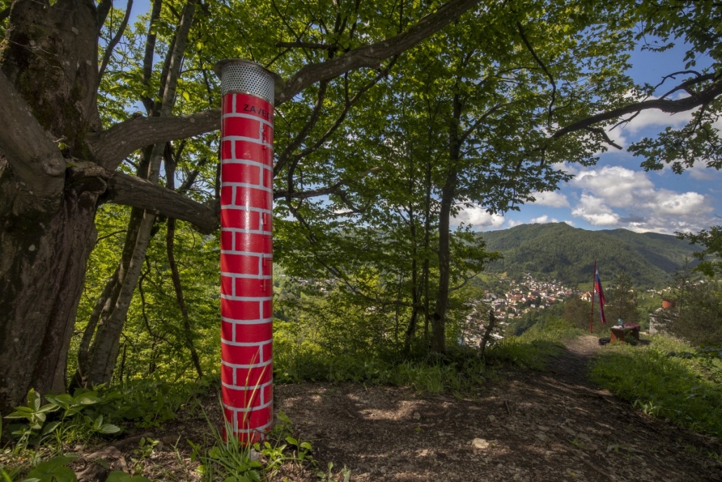
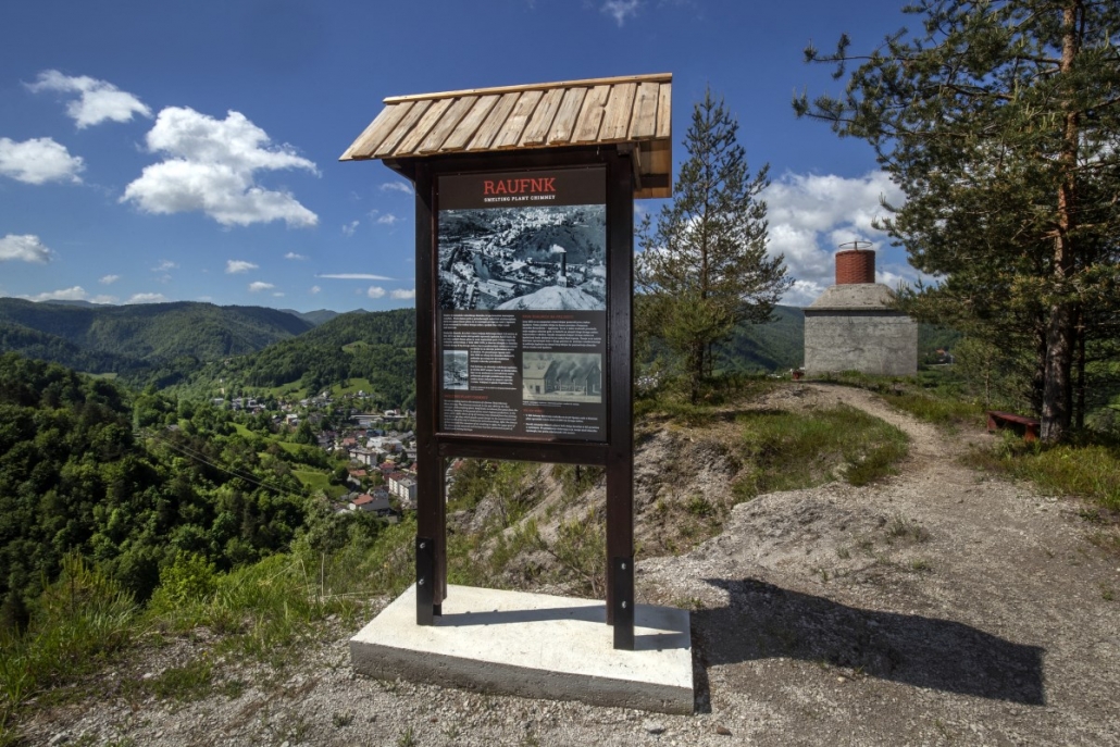
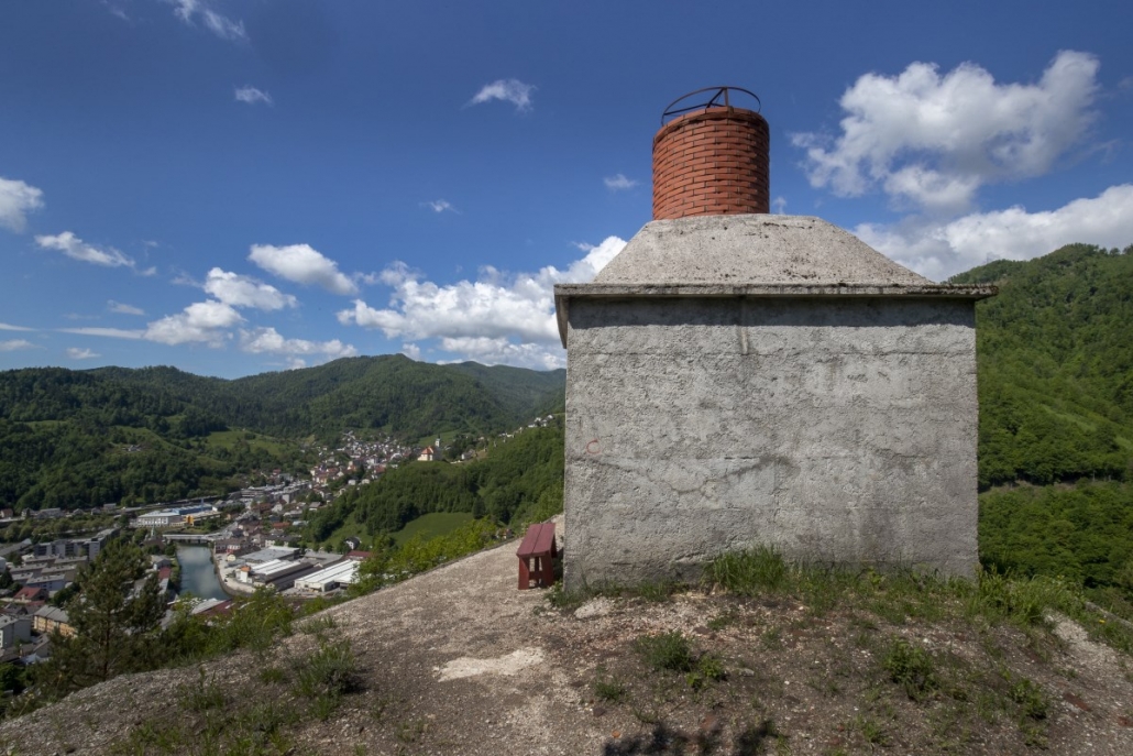
After centuries of smelting, which had polluted Idrija’s atmosphere, in the second half of the 19th century the smoke began to be vented through a central chimney that rises 158 metres above the smelting plant. This reduced the losses from mercury extraction and considerably improved the air and, indirectly, the health of the population.
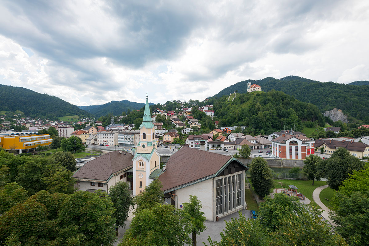
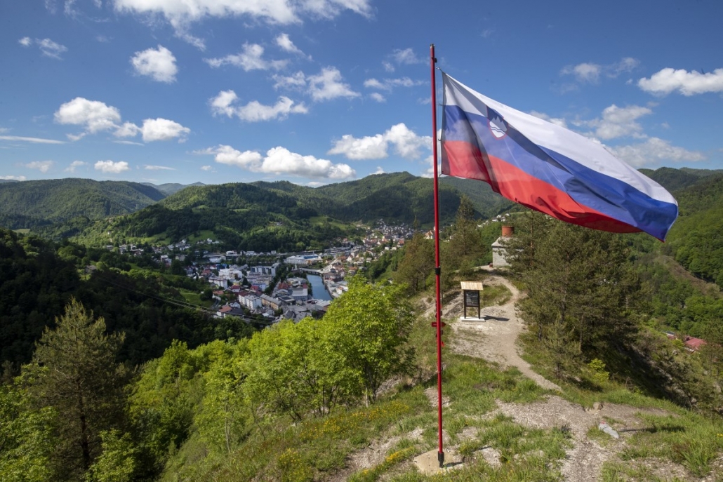
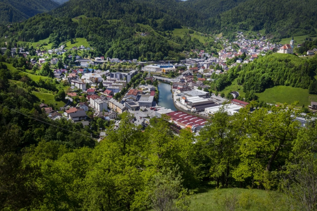
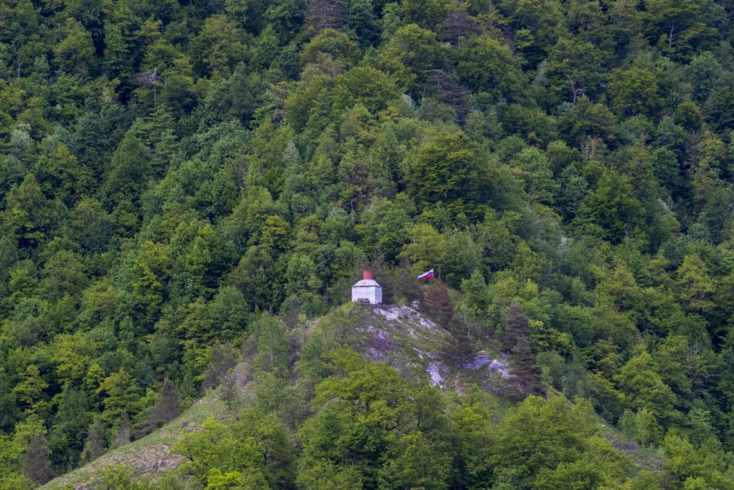
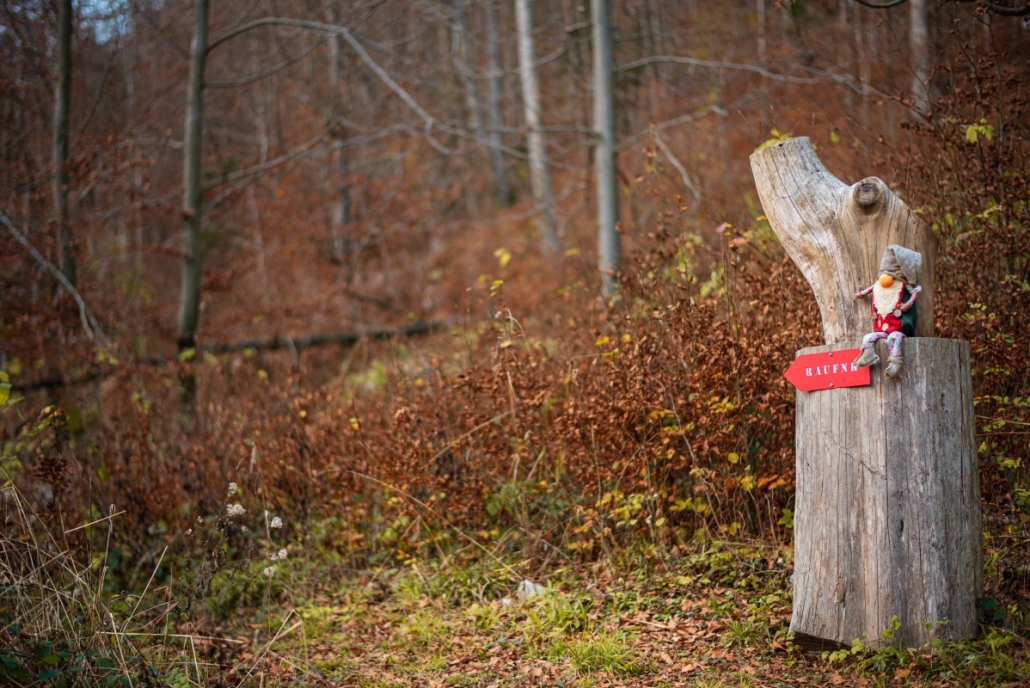
The chimney that used to be quite high was lowered considerably after it stopped being used, and the formerly barren hill slowly recovered when operations ceased. Raufnk, with its beautiful view of Idrija, has now become a popular hiking point, with paths and trails leading off in various directions.




Reaching the starting point:Coming from Ljubljana, turn right at the second traffic light and then immediately right again: you can park on the large gravel parking lot by the pharmacy or the Idrija Health Centre.
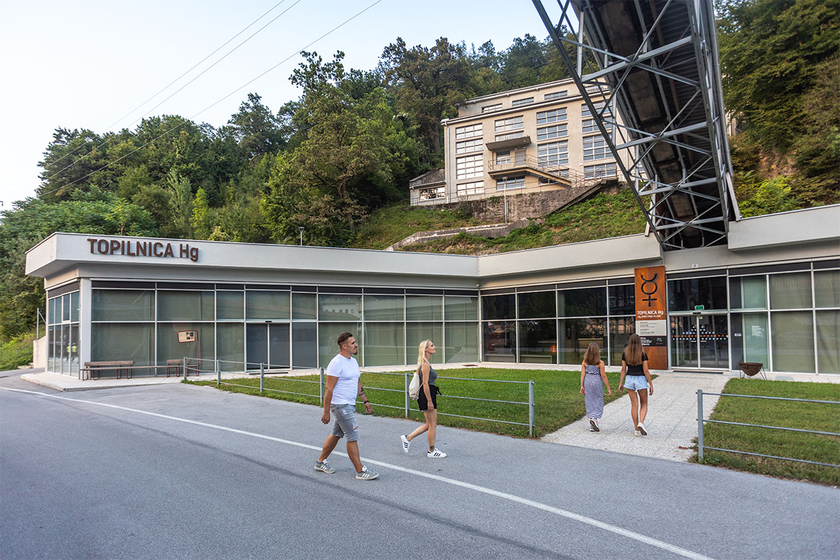
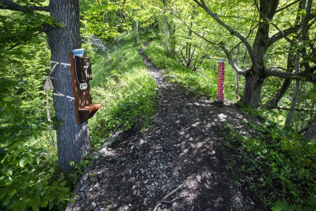
Trail description: From the parking lot, walk towards the Hg Smelting Plant: past the church of St Joseph and the Merkur store, where you turn right onto the Rudarska ulica, the Miners’ Street. When you pass the famous miners’ houses (prhausi), turn left at the blaze and then right in a sharp turn to go steeply uphill. On top of the ascent, turn sharply left and continue on the flat path. At the cableway endstation, turn right at the marking. Follow the path uphill and to the left. After about 0.5 km, turn sharply right toward the chimney. After a 20-minute walk, you will have reached the smelting plant chimney, from where you will have a great view over Idrija.
For a circular return, follow marikngs for “Brušerski škaf”, a water basing where you can safely drink cold creek water. Continue across torrential gorges until you reach the first signpost that will direct you toward Idrija. When you reach the asphalt road, walk downhill. When you reach the first blocks of flats, turn right onto a narrow path between the houses, descend the stairs and walk back to your starting point.
Trail option: Turška noga and Mrutni vrh
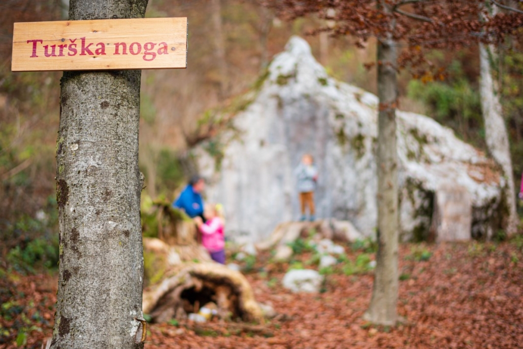
From the chimney, take the steep trail uphill in the direction of Turška noga. After 10 minutes, turn right and follow the markings. You will need about half an hour to reach Turška noga. From here, you can return to the valley via the same trail or opt for a circular trail. In this case, follow markings for Idrija and turn right at the last marking for Raufnk.
To continue on to Mrutni vrh, follow the gravel road uphill from Turška noga. Along the way, you can visit the church of St Mary Magdalene in Gore: if the weather allows, you can see the entire Trnovo Forest Plateau. Then continue on the road Gore–Ledinsko Razpotje. Just before the road leads into a forest, the signpost on your right will lead you to Mrutni vrh. Hiking time from Turška noga to Gore and Mrutni vrh is 1 h.
You can also opt for a direct path from Turška noga to Mrutni vrh. In this case, follow the gravel road but branch left just before the road comes out of the forest. This is a shortcut that will lead you past a climbing centre onto a main road, where you turn right and after a few meters a board will show you the way to the top. You can return to the valley via the same trail or you can continue walking on the main road to Ledinsko Razpotje. At the Kmečki hram Fortuna restaurant (around 30 minutes of hiking), turn left uphill. From here, the path will lead you back to Raufnk (around 15 minutes of hiking).