Trail nr. 7: Krnice Plateau
HIKING AND CYCLING TRAILS


The area of the villages of Idrijske Krnice and Masore – where locals jokingly say that even flat land is sloping uphill and where not many can imagine living – is home to kind, resourceful, and hard-working people.
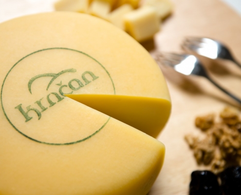
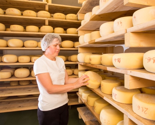
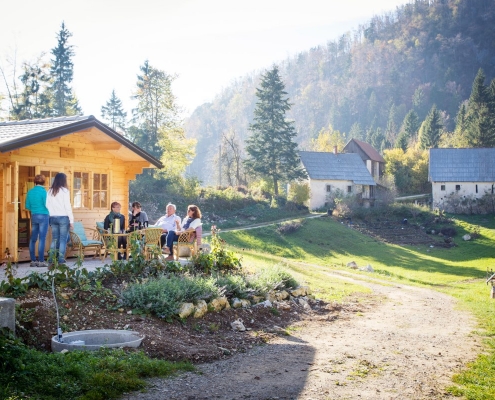
Where the valleys of the Idrijca and Kanomljica rivers meet, at an altitude of 1,000 m above sea-level where the sky touches the earth, lies the highland village of Idrijske Krnice. The plateau has maintained the values of traditional farming life in a vibrant and tightly knit village community. All this has left its mark in what the place offers to tourists: a unique experience of a world without noise and without a race against time, the healing power of herbs, and excellent dairy products from two local farms.
The steep slopes of Masore above the Idrijca River are still home to individual farms where generations have persisted through hard work for centuries. Today, however, only a handful remain. One could say that the village of Masore is so close, yet so very far away from the rest of the world. Only a stone’s throw away, on the other side of the Idrijca River, is the winding road known as Keltika, which is the main road connecting the Posočje region with central Slovenia.




Reaching the starting point: Take the road from Logatec to Tolmin (or vice versa). When you reach Spodnja Idrija, take a left turn (or a right turn if you are coming in from the direction of Tolmin) towards Kanomlja. After 1 km, you will reach the sign showing the road to Idrijske Krnice (to the right, uphill). After 5 km, the rising road flattens and leads to a crossroads with a wooden signpost and and an information board, where you can park.
Trail description: At the wooden board with signposts, take a right turn towards Masore or Jelenk and keep to the left (towards Masore). When you reach Lom, take a left turn and then a right turn toward the Erjavec and Hladnik farms. Continue until you reach the Erjavec farm. Above the farm, take a left turn, then continue by following the lower road. Finish your trail by following the gravel road toward Rupa. At the Erjavec farm, you can also take a shortcut – the upper (left) gravel road that leads to the Church of St Florian – or take the lower (right) road past the U Pstat farm. Keep to the left and when you reach the main road, take another left turn. The main road of Idrijske Krnice will take you back to the starting point.